
Thank you for supporting this site ❤️
Make a donation
Make a donation
Warsaw topographic map
Click on the map to display elevation.
Thank you for supporting this site ❤️
Make a donation
Make a donation
About this map
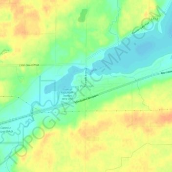
Name: Warsaw topographic map, elevation, terrain.
Location: Warsaw, Rice County, Minnesota, 55087, United States (44.22941 -93.41383 44.26941 -93.37383)
Average elevation: 315 m
Minimum elevation: 296 m
Maximum elevation: 333 m
Thank you for supporting this site ❤️
Make a donation
Make a donation
Other topographic maps
Click on a map to view its topography, its elevation and its terrain.