
Thank you for supporting this site ❤️
Make a donation
Make a donation
Pangarengan topographic map
Click on the map to display elevation.
Thank you for supporting this site ❤️
Make a donation
Make a donation
About this map
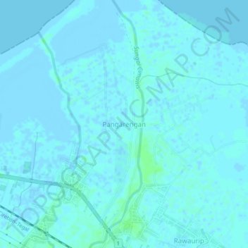
Name: Pangarengan topographic map, elevation, terrain.
Location: Pangarengan, Cirebon, West Java, Java, Indonesia (-6.79842 108.63565 -6.75842 108.67565)
Average elevation: 1 m
Minimum elevation: -4 m
Maximum elevation: 7 m
Thank you for supporting this site ❤️
Make a donation
Make a donation