
Thank you for supporting this site ❤️
Make a donation
Make a donation
Foulness Island topographic map
Click on the map to display elevation.
Thank you for supporting this site ❤️
Make a donation
Make a donation
About this map
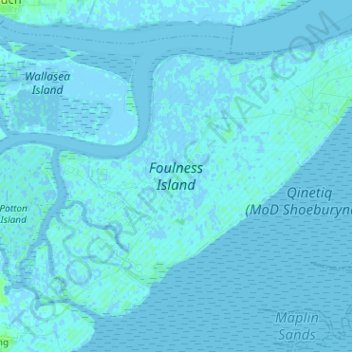
Name: Foulness Island topographic map, elevation, terrain.
Location: Foulness Island, Rochford, Essex, England, United Kingdom (51.55670 0.83278 51.62065 0.96003)
Average elevation: 1 m
Minimum elevation: -6 m
Maximum elevation: 9 m
Thank you for supporting this site ❤️
Make a donation
Make a donation