
Thank you for supporting this site ❤️
Make a donation
Make a donation
Litchfield topographic map
Click on the map to display elevation.
Thank you for supporting this site ❤️
Make a donation
Make a donation
About this map
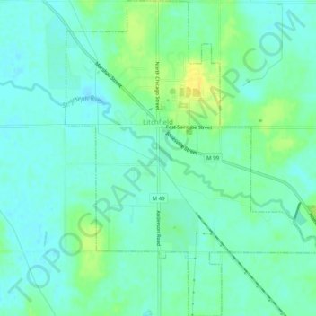
Name: Litchfield topographic map, elevation, terrain.
Location: Litchfield, Hillsdale County, Michigan, 49252, United States (42.02173 -84.77300 42.05841 -84.73295)
Average elevation: 313 m
Minimum elevation: 305 m
Maximum elevation: 329 m
Thank you for supporting this site ❤️
Make a donation
Make a donation
Other topographic maps
Click on a map to view its topography, its elevation and its terrain.
Thank you for supporting this site ❤️
Make a donation
Make a donation
Thank you for supporting this site ❤️
Make a donation
Make a donation