
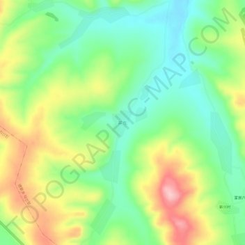
英东 topographic map
Interactive map
Click on the map to display elevation.
About this map
Name: 英东 topographic map, elevation, terrain.
Location: 英东, 龙井市, 延边朝鲜族自治州, 吉林省, 中国 (42.66765 129.54867 42.70765 129.58867)
Average elevation: 389 m
Minimum elevation: 321 m
Maximum elevation: 492 m
Other topographic maps
Click on a map to view its topography, its elevation and its terrain.