
Thank you for supporting this site ❤️
Make a donation
Make a donation
Unicoi Lake topographic map
Click on the map to display elevation.
Thank you for supporting this site ❤️
Make a donation
Make a donation
About this map
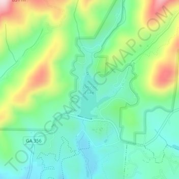
Name: Unicoi Lake topographic map, elevation, terrain.
Location: Unicoi Lake, White County, Georgia, United States (34.72403 -83.72680 34.73294 -83.72088)
Average elevation: 562 m
Minimum elevation: 465 m
Maximum elevation: 769 m
Thank you for supporting this site ❤️
Make a donation
Make a donation
Other topographic maps
Click on a map to view its topography, its elevation and its terrain.