
Thank you for supporting this site ❤️
Make a donation
Make a donation
El Zujar topographic map
Click on the map to display elevation.
Thank you for supporting this site ❤️
Make a donation
Make a donation
About this map
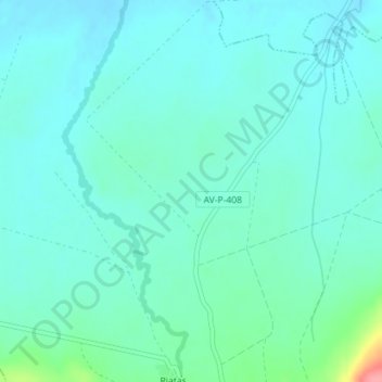
Name: El Zujar topographic map, elevation, terrain.
Location: El Zujar, Sotalbo, Ávila, Castilla y León, España (40.55403 -4.86790 40.57403 -4.84790)
Average elevation: 1,108 m
Minimum elevation: 1,092 m
Maximum elevation: 1,185 m
Thank you for supporting this site ❤️
Make a donation
Make a donation