
La Cherplais topographic map
Interactive map
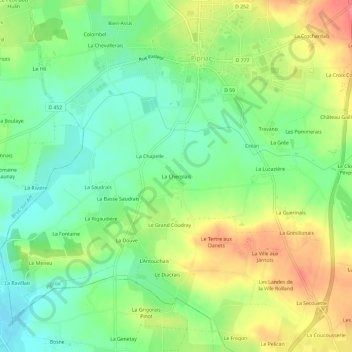
Click on the map to display elevation.
About this map
Name: La Cherplais topographic map, elevation, terrain.
Average elevation: 55 m
Minimum elevation: 26 m
Maximum elevation: 95 m
Other topographic maps
Click on a map to view its topography, its elevation and its terrain.
35550
France > Bretagne > Ille-et-Vilaine > Pipriac > Le Bois Hulin
35550, Le Bois Hulin, Pipriac, Redon, Ille-et-Vilaine, Bretagne, France métropolitaine, France
Average elevation: 54 m