
Thank you for supporting this site ❤️
Make a donation
Make a donation
Folsom topographic map
Click on the map to display elevation.
Thank you for supporting this site ❤️
Make a donation
Make a donation
About this map
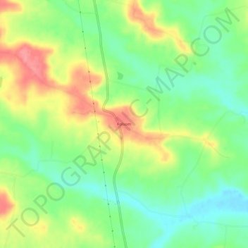
Name: Folsom topographic map, elevation, terrain.
Location: Folsom, Highland County, Ohio, United States (39.07507 -83.61270 39.11507 -83.57270)
Average elevation: 291 m
Minimum elevation: 255 m
Maximum elevation: 339 m
Thank you for supporting this site ❤️
Make a donation
Make a donation
Other topographic maps
Click on a map to view its topography, its elevation and its terrain.