
Guiddam topographic map
Click on the map to display elevation.
About this map
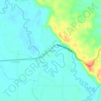
Name: Guiddam topographic map, elevation, terrain.
Location: Guiddam, Abulug, Cagayan, Cagayan Valley, Philippines (18.31885 121.45193 18.35885 121.49193)
Average elevation: 15 m
Minimum elevation: 2 m
Maximum elevation: 56 m