
San Vito topographic map
Interactive map
Click on the map to display elevation.
About this map
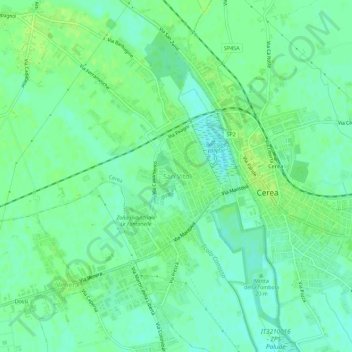
Name: San Vito topographic map, elevation, terrain.
Location: San Vito, Cerea, Verona, Veneto, 37053, Italia (45.17388 11.17819 45.21388 11.21819)
Average elevation: 16 m
Minimum elevation: 10 m
Maximum elevation: 21 m
Other topographic maps
Click on a map to view its topography, its elevation and its terrain.