
Kembli topographic map
Click on the map to display elevation.
About this map
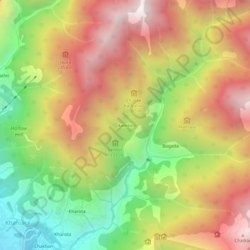
Name: Kembli topographic map, elevation, terrain.
Location: Kembli, Dharamshala, Kangra, Himachal Pradesh, 176200, India (32.20811 76.36889 32.24811 76.40889)
Average elevation: 2,113 m
Minimum elevation: 1,339 m
Maximum elevation: 2,854 m
Other topographic maps
Click on a map to view its topography, its elevation and its terrain.