
Thank you for supporting this site ❤️
Make a donation
Make a donation
Den Oever topographic map
Click on the map to display elevation.
Thank you for supporting this site ❤️
Make a donation
Make a donation
About this map
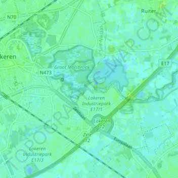
Name: Den Oever topographic map, elevation, terrain.
Location: Den Oever, Lokeren, Sint-Niklaas, East Flanders, 9240, Belgium (51.07720 4.00016 51.11720 4.04016)
Average elevation: 4 m
Minimum elevation: -2 m
Maximum elevation: 11 m
Thank you for supporting this site ❤️
Make a donation
Make a donation