
Thank you for supporting this site ❤️
Make a donation
Make a donation
Gaston topographic map
Click on the map to display elevation.
Thank you for supporting this site ❤️
Make a donation
Make a donation
About this map
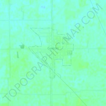
Name: Gaston topographic map, elevation, terrain.
Location: Gaston, Delaware County, Indiana, United States (40.30629 -85.50874 40.31910 -85.49367)
Average elevation: 273 m
Minimum elevation: 269 m
Maximum elevation: 277 m
Thank you for supporting this site ❤️
Make a donation
Make a donation