
Thank you for supporting this site ❤️
Make a donation
Make a donation
Cooksville topographic map
Click on the map to display elevation.
Thank you for supporting this site ❤️
Make a donation
Make a donation
About this map
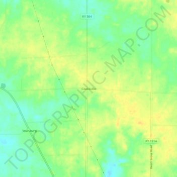
Name: Cooksville topographic map, elevation, terrain.
Location: Cooksville, Graves County, Kentucky, 42040, United States (36.59228 -88.54338 36.63228 -88.50338)
Average elevation: 165 m
Minimum elevation: 151 m
Maximum elevation: 175 m
Thank you for supporting this site ❤️
Make a donation
Make a donation
Other topographic maps
Click on a map to view its topography, its elevation and its terrain.