
Thank you for supporting this site ❤️
Make a donation
Make a donation
Windy Point topographic map
Click on the map to display elevation.
Thank you for supporting this site ❤️
Make a donation
Make a donation
About this map
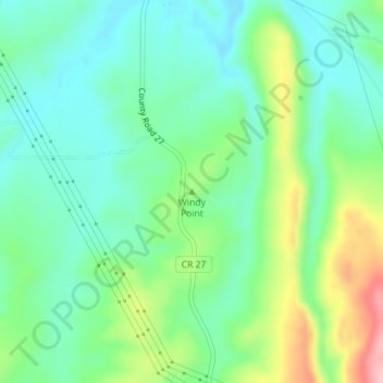
Name: Windy Point topographic map, elevation, terrain.
Location: Windy Point, Routt County, Colorado, United States (40.43169 -107.14886 40.43179 -107.14876)
Average elevation: 2,048 m
Minimum elevation: 1,999 m
Maximum elevation: 2,160 m
Thank you for supporting this site ❤️
Make a donation
Make a donation
Other topographic maps
Click on a map to view its topography, its elevation and its terrain.