
Thank you for supporting this site ❤️
Make a donation
Make a donation
Reussegg topographic map
Click on the map to display elevation.
Thank you for supporting this site ❤️
Make a donation
Make a donation
About this map
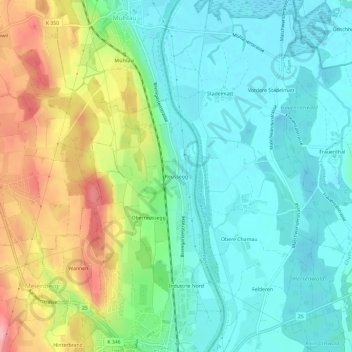
Name: Reussegg topographic map, elevation, terrain.
Location: Reussegg, Sins, Bezirk Muri, Aargau, 5643, Schweiz (47.19106 8.37732 47.23106 8.41732)
Average elevation: 425 m
Minimum elevation: 384 m
Maximum elevation: 514 m
Thank you for supporting this site ❤️
Make a donation
Make a donation