
Lea topographic map
Click on the map to display elevation.
About this map
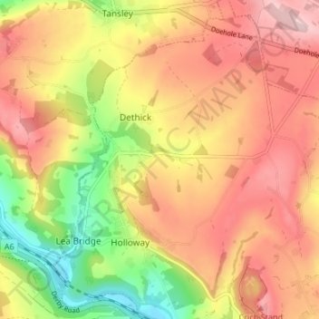
Name: Lea topographic map, elevation, terrain.
Average elevation: 203 m
Minimum elevation: 74 m
Maximum elevation: 299 m
Other topographic maps
Click on a map to view its topography, its elevation and its terrain.
Dethick, Lea and Holloway CP
United Kingdom > England > Derbyshire > Amber Valley > Dethick
Average elevation: 204 m