
Thank you for supporting this site ❤️
Make a donation
Make a donation
Garden Prairie topographic map
Click on the map to display elevation.
Thank you for supporting this site ❤️
Make a donation
Make a donation
About this map
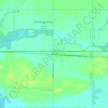
Name: Garden Prairie topographic map, elevation, terrain.
Average elevation: 240 m
Minimum elevation: 233 m
Maximum elevation: 248 m
Thank you for supporting this site ❤️
Make a donation
Make a donation
Other topographic maps
Click on a map to view its topography, its elevation and its terrain.
Belvidere
United States > Illinois > Boone County
Belvidere developed on both sides of the Kishwaukee River in north central Illinois. It is 76 miles from downtown Chicago on Routes 20, 76 and the Northern Illinois Toll road. Belvidere is an industrial community surrounded by prosperous farms. It is the County Seat with an estimated 2006 county population of…
Average elevation: 244 m
Thank you for supporting this site ❤️
Make a donation
Make a donation