
Thank you for supporting this site ❤️
Make a donation
Make a donation
Lumutan topographic map
Click on the map to display elevation.
Thank you for supporting this site ❤️
Make a donation
Make a donation
About this map
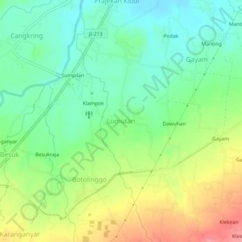
Name: Lumutan topographic map, elevation, terrain.
Location: Lumutan, Bondowoso, East Java, Java, Indonesia (-7.83683 113.96078 -7.79683 114.00078)
Average elevation: 108 m
Minimum elevation: 74 m
Maximum elevation: 161 m
Thank you for supporting this site ❤️
Make a donation
Make a donation