
Thank you for supporting this site ❤️
Make a donation
Make a donation
Boulder Mountain topographic map
Click on the map to display elevation.
Thank you for supporting this site ❤️
Make a donation
Make a donation
About this map
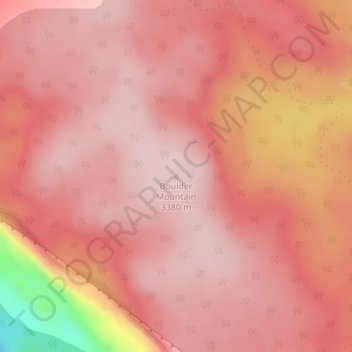
Name: Boulder Mountain topographic map, elevation, terrain.
Location: Boulder Mountain, Garfield County, Utah, United States (38.08688 -111.43411 38.08698 -111.43401)
Average elevation: 3,317 m
Minimum elevation: 3,079 m
Maximum elevation: 3,376 m
Thank you for supporting this site ❤️
Make a donation
Make a donation
Other topographic maps
Click on a map to view its topography, its elevation and its terrain.