
Thank you for supporting this site ❤️
Make a donation
Make a donation
Västra Kåphult topographic map
Click on the map to display elevation.
Thank you for supporting this site ❤️
Make a donation
Make a donation
About this map
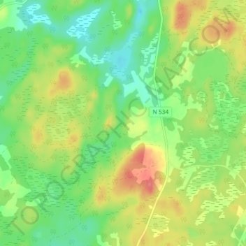
Name: Västra Kåphult topographic map, elevation, terrain.
Location: Västra Kåphult, Laholms kommun, Halland County, Sweden (56.44718 13.29231 56.48718 13.33231)
Average elevation: 106 m
Minimum elevation: 76 m
Maximum elevation: 147 m
Thank you for supporting this site ❤️
Make a donation
Make a donation