
Thank you for supporting this site ❤️
Make a donation
Make a donation
Reusshof topographic map
Click on the map to display elevation.
Thank you for supporting this site ❤️
Make a donation
Make a donation
About this map
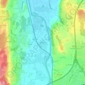
Name: Reusshof topographic map, elevation, terrain.
Location: Reusshof, Oberrüti, Bezirk Muri, Aargau, 5647, Schweiz (47.14357 8.38992 47.18357 8.42992)
Average elevation: 433 m
Minimum elevation: 395 m
Maximum elevation: 516 m
Thank you for supporting this site ❤️
Make a donation
Make a donation