
Thank you for supporting this site ❤️
Make a donation
Make a donation
Gadungan topographic map
Click on the map to display elevation.
Thank you for supporting this site ❤️
Make a donation
Make a donation
About this map
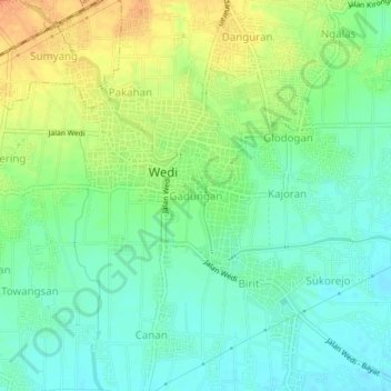
Name: Gadungan topographic map, elevation, terrain.
Location: Gadungan, Klaten, Central Java, Java, 57421, Indonesia (-7.76838 110.56330 -7.72838 110.60330)
Average elevation: 137 m
Minimum elevation: 121 m
Maximum elevation: 160 m
Thank you for supporting this site ❤️
Make a donation
Make a donation
Other topographic maps
Click on a map to view its topography, its elevation and its terrain.