
Make a donation
State College topographic map
Click on the map to display elevation.
Make a donation
State College
State College is located at an elevation of approximately 1,200 feet (370 m) above sea level. According to the U.S. Census Bureau, the borough has a total area of 4.5 square miles (12 km2), all land. It is surrounded by large tracts of farmland and an expanse of Appalachian Mountain ranges and forests. Its location within a valley makes it prone to frequent rain and snowfall. Mount Nittany is part of Pennsylvania's geologic ridge-and-valley province of the Appalachian Mountains. It is located at the approximate geographic center of Pennsylvania.
Make a donation
About this map
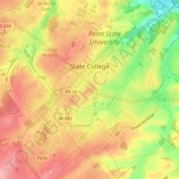
Name: State College topographic map, elevation, terrain.
Location: State College, Centre County, Pennsylvania, United States (40.76837 -77.88617 40.80723 -77.81900)
Average elevation: 351 m
Minimum elevation: 286 m
Maximum elevation: 398 m
Make a donation