
Thank you for supporting this site ❤️
Make a donation
Make a donation
Gairo topographic map
Click on the map to display elevation.
Thank you for supporting this site ❤️
Make a donation
Make a donation
About this map
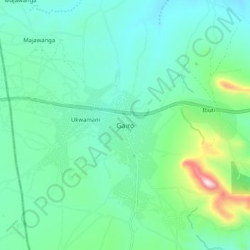
Name: Gairo topographic map, elevation, terrain.
Location: Gairo, Morogoro Region, Coastal Zone, Tanzania (-6.18027 36.82907 -6.10027 36.90907)
Average elevation: 1,290 m
Minimum elevation: 1,168 m
Maximum elevation: 1,754 m
Thank you for supporting this site ❤️
Make a donation
Make a donation
Other topographic maps
Click on a map to view its topography, its elevation and its terrain.