
Maytown topographic map
Click on the map to display elevation.
About this map
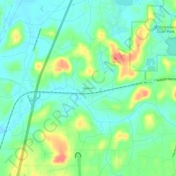
Name: Maytown topographic map, elevation, terrain.
Location: Maytown, Thurston County, Washington, United States (46.87760 -122.96347 46.91760 -122.92347)
Average elevation: 72 m
Minimum elevation: 51 m
Maximum elevation: 116 m