
Thank you for supporting this site ❤️
Make a donation
Make a donation
Shang topographic map
Click on the map to display elevation.
Thank you for supporting this site ❤️
Make a donation
Make a donation
About this map
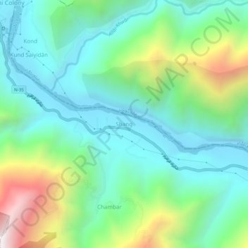
Name: Shang topographic map, elevation, terrain.
Location: Shang, Shangla, Shangla District, Khyber Pakhtunkhwa, Pakistan (34.86288 72.86515 34.90288 72.90515)
Average elevation: 924 m
Minimum elevation: 559 m
Maximum elevation: 1,888 m
Thank you for supporting this site ❤️
Make a donation
Make a donation