
Thank you for supporting this site ❤️
Make a donation
Make a donation
Ross Township topographic map
Click on the map to display elevation.
Thank you for supporting this site ❤️
Make a donation
Make a donation
About this map
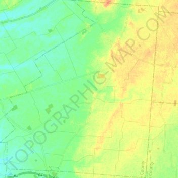
Name: Ross Township topographic map, elevation, terrain.
Location: Ross Township, Greene County, Ohio, United States (39.66966 -83.77549 39.77975 -83.64770)
Average elevation: 330 m
Minimum elevation: 316 m
Maximum elevation: 347 m
Thank you for supporting this site ❤️
Make a donation
Make a donation
Other topographic maps
Click on a map to view its topography, its elevation and its terrain.