
Thank you for supporting this site ❤️
Make a donation
Make a donation
Mästocka topographic map
Click on the map to display elevation.
Thank you for supporting this site ❤️
Make a donation
Make a donation
About this map
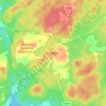
Name: Mästocka topographic map, elevation, terrain.
Location: Mästocka, Laholms kommun, Halland County, Sweden (56.58773 13.23234 56.62773 13.27234)
Average elevation: 132 m
Minimum elevation: 96 m
Maximum elevation: 164 m
Thank you for supporting this site ❤️
Make a donation
Make a donation
Other topographic maps
Click on a map to view its topography, its elevation and its terrain.
Thank you for supporting this site ❤️
Make a donation
Make a donation
Thank you for supporting this site ❤️
Make a donation
Make a donation