
塔河县 topographic map
Interactive map
Click on the map to display elevation.
About this map
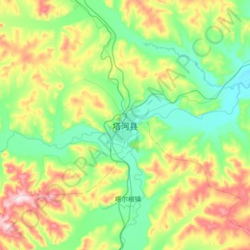
Name: 塔河县 topographic map, elevation, terrain.
Location: 塔河县, 塔河镇, 塔河县, 大兴安岭地区, 黑龙江省, 中国 (52.17343 124.54222 52.49343 124.86222)
Average elevation: 489 m
Minimum elevation: 331 m
Maximum elevation: 893 m