
Thank you for supporting this site ❤️
Make a donation
Make a donation
Lake Leota topographic map
Click on the map to display elevation.
Thank you for supporting this site ❤️
Make a donation
Make a donation
About this map
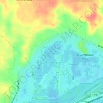
Name: Lake Leota topographic map, elevation, terrain.
Location: Lake Leota, Walker, Kent County, Michigan, United States (42.94122 -85.75075 42.94672 -85.74373)
Average elevation: 199 m
Minimum elevation: 178 m
Maximum elevation: 235 m
Thank you for supporting this site ❤️
Make a donation
Make a donation