
Thank you for supporting this site ❤️
Make a donation
Make a donation
Perk. Tambunan topographic map
Click on the map to display elevation.
Thank you for supporting this site ❤️
Make a donation
Make a donation
About this map
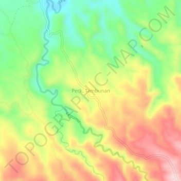
Name: Perk. Tambunan topographic map, elevation, terrain.
Location: Perk. Tambunan, Langkat, North Sumatra, Sumatra, Indonesia (3.38165 98.31151 3.42165 98.35151)
Average elevation: 274 m
Minimum elevation: 138 m
Maximum elevation: 423 m
Thank you for supporting this site ❤️
Make a donation
Make a donation