
Thank you for supporting this site ❤️
Make a donation
Make a donation
Callén topographic map
Click on the map to display elevation.
Thank you for supporting this site ❤️
Make a donation
Make a donation
About this map
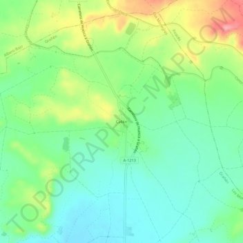
Name: Callén topographic map, elevation, terrain.
Location: Callén, Grañén, Los Monegros, Huesca, Aragón, España (41.97304 -0.38480 42.01304 -0.34480)
Average elevation: 376 m
Minimum elevation: 337 m
Maximum elevation: 450 m
Thank you for supporting this site ❤️
Make a donation
Make a donation