
Thank you for supporting this site ❤️
Make a donation
Make a donation
Alcolu topographic map
Click on the map to display elevation.
Thank you for supporting this site ❤️
Make a donation
Make a donation
About this map
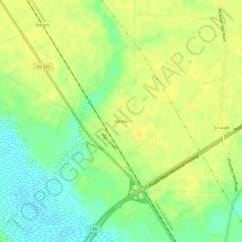
Name: Alcolu topographic map, elevation, terrain.
Location: Alcolu, Clarendon County, South Carolina, United States (33.73118 -80.23274 33.77118 -80.19274)
Average elevation: 35 m
Minimum elevation: 21 m
Maximum elevation: 43 m
Thank you for supporting this site ❤️
Make a donation
Make a donation
Other topographic maps
Click on a map to view its topography, its elevation and its terrain.