
Thank you for supporting this site ❤️
Make a donation
Make a donation
Culpepper topographic map
Click on the map to display elevation.
Thank you for supporting this site ❤️
Make a donation
Make a donation
About this map
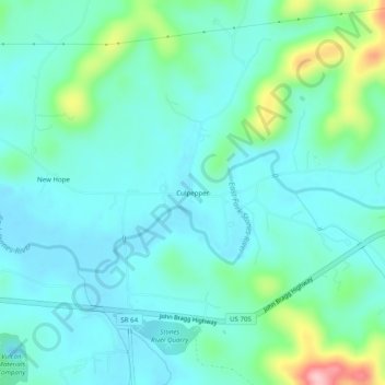
Name: Culpepper topographic map, elevation, terrain.
Location: Culpepper, Cannon County, Tennessee, 37149, United States (35.79845 -86.16264 35.83845 -86.12264)
Average elevation: 223 m
Minimum elevation: 186 m
Maximum elevation: 370 m
Thank you for supporting this site ❤️
Make a donation
Make a donation
Other topographic maps
Click on a map to view its topography, its elevation and its terrain.