
Thank you for supporting this site ❤️
Make a donation
Make a donation
Science Hill topographic map
Click on the map to display elevation.
Thank you for supporting this site ❤️
Make a donation
Make a donation
About this map
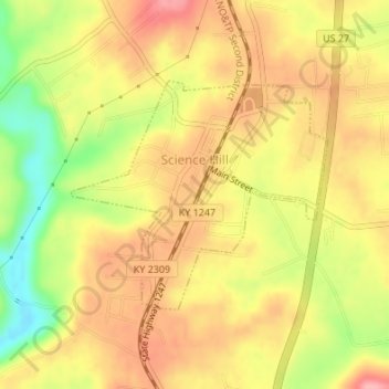
Name: Science Hill topographic map, elevation, terrain.
Location: Science Hill, Pulaski County, Kentucky, United States (37.16658 -84.64653 37.18249 -84.62416)
Average elevation: 327 m
Minimum elevation: 258 m
Maximum elevation: 373 m
Thank you for supporting this site ❤️
Make a donation
Make a donation
Other topographic maps
Click on a map to view its topography, its elevation and its terrain.