
Thank you for supporting this site ❤️
Make a donation
Make a donation
Nansha District topographic map
Click on the map to display elevation.
Thank you for supporting this site ❤️
Make a donation
Make a donation
About this map
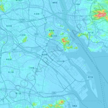
Name: Nansha District topographic map, elevation, terrain.
Location: Nansha District, Guangzhou City, Guangdong, China (22.41855 113.29095 22.91152 113.78220)
Average elevation: 12 m
Minimum elevation: -8 m
Maximum elevation: 507 m
Thank you for supporting this site ❤️
Make a donation
Make a donation
Other topographic maps
Click on a map to view its topography, its elevation and its terrain.