
Thank you for supporting this site ❤️
Make a donation
Make a donation
Coe topographic map
Click on the map to display elevation.
Thank you for supporting this site ❤️
Make a donation
Make a donation
About this map
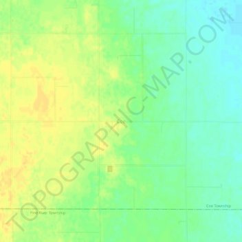
Name: Coe topographic map, elevation, terrain.
Location: Coe, Coe Township, Isabella County, Michigan, United States (43.46059 -84.66223 43.50059 -84.62223)
Average elevation: 230 m
Minimum elevation: 217 m
Maximum elevation: 242 m
Thank you for supporting this site ❤️
Make a donation
Make a donation
Other topographic maps
Click on a map to view its topography, its elevation and its terrain.