
Thank you for supporting this site ❤️
Make a donation
Make a donation
Pasir Muncang topographic map
Click on the map to display elevation.
Thank you for supporting this site ❤️
Make a donation
Make a donation
About this map
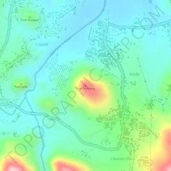
Name: Pasir Muncang topographic map, elevation, terrain.
Location: Pasir Muncang, Wado, Sumedang, West Java, Indonesia (-6.95505 108.08912 -6.95495 108.08922)
Average elevation: 313 m
Minimum elevation: 250 m
Maximum elevation: 489 m
Thank you for supporting this site ❤️
Make a donation
Make a donation