
Thank you for supporting this site ❤️
Make a donation
Make a donation
Kabandungan topographic map
Click on the map to display elevation.
Thank you for supporting this site ❤️
Make a donation
Make a donation
About this map
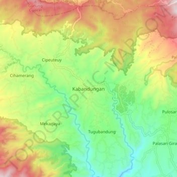
Name: Kabandungan topographic map, elevation, terrain.
Location: Kabandungan, Sukabumi, West Java, Java, Indonesia (-6.82644 106.57920 -6.74644 106.65920)
Average elevation: 812 m
Minimum elevation: 503 m
Maximum elevation: 1,242 m
Thank you for supporting this site ❤️
Make a donation
Make a donation