
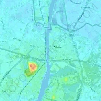
Zelzate topographic map
Interactive map
Click on the map to display elevation.
About this map
Name: Zelzate topographic map, elevation, terrain.
Location: Zelzate, Eeklo, Oost-Vlaanderen, Vlaanderen, België (51.18200 3.76465 51.21433 3.85620)
Average elevation: 5 m
Minimum elevation: -9 m
Maximum elevation: 46 m
Zelzate ligt in het Vlaamse polderland, op een hoogte van 5-8 meter. De belangrijkste waterloop is het Kanaal Gent-Terneuzen, met de bijbehorende industriële bedrijvigheid.