
葫芦河村 topographic map
Interactive map
Click on the map to display elevation.
About this map
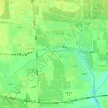
Name: 葫芦河村 topographic map, elevation, terrain.
Location: 葫芦河村, 昌平区, 北京市, 中国 (40.15436 116.38956 40.19436 116.42956)
Average elevation: 38 m
Minimum elevation: 27 m
Maximum elevation: 43 m
Other topographic maps
Click on a map to view its topography, its elevation and its terrain.