
Thank you for supporting this site ❤️
Make a donation
Make a donation
Bald Hill topographic map
Click on the map to display elevation.
Thank you for supporting this site ❤️
Make a donation
Make a donation
About this map
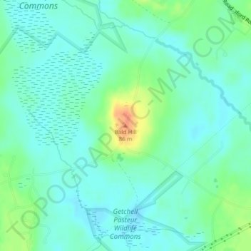
Name: Bald Hill topographic map, elevation, terrain.
Location: Bald Hill, Wells, York County, Maine, 04090, United States (43.34726 -70.68038 43.34736 -70.68028)
Average elevation: 59 m
Minimum elevation: 48 m
Maximum elevation: 89 m
Thank you for supporting this site ❤️
Make a donation
Make a donation