
Make a donation
Phe topographic map
Click on the map to display elevation.
Make a donation
About this map
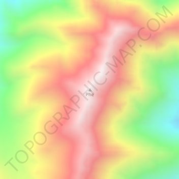
Name: Phe topographic map, elevation, terrain.
Location: Phe, Leh district, Ladakh, India (34.09334 77.32342 34.09344 77.32352)
Average elevation: 4,841 m
Minimum elevation: 4,340 m
Maximum elevation: 5,239 m
Make a donation
Other topographic maps
Click on a map to view its topography, its elevation and its terrain.
Nubra
The Shyok River meets the Nubra River (or Siachan River) to form a large valley that separates the Ladakh and Karakoram Ranges. The Shyok river is a tributary of the Indus river. The average altitude of the valley is more than 10,000 feet (3,000 m) above the sea level. The most common way to access this valley…
Average elevation: 4,978 m
Make a donation
Indus
India > Ladakh > Leh Tehsil
In the uppermost, highest part of the Indus River basin there are relatively few genera and species: Diptychus, Ptychobarbus, Schizopyge, Schizopygopsis and Schizothorax snowtrout, Triplophysa loaches, and the catfish Glyptosternon reticulatum. Going downstream these are soon joined by the golden mahseer Tor…
Average elevation: 4,192 m