
Thank you for supporting this site ❤️
Make a donation
Make a donation
Fogdö topographic map
Click on the map to display elevation.
Thank you for supporting this site ❤️
Make a donation
Make a donation
About this map
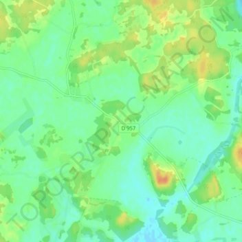
Name: Fogdö topographic map, elevation, terrain.
Location: Fogdö, Strängnäs kommun, Södermanland County, Sweden (59.40562 16.87367 59.44562 16.91367)
Average elevation: 12 m
Minimum elevation: -1 m
Maximum elevation: 32 m
Thank you for supporting this site ❤️
Make a donation
Make a donation
Other topographic maps
Click on a map to view its topography, its elevation and its terrain.