
Thank you for supporting this site ❤️
Make a donation
Make a donation
Ad Diriyah topographic map
Click on the map to display elevation.
Thank you for supporting this site ❤️
Make a donation
Make a donation
About this map
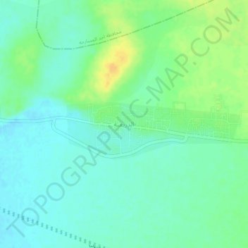
Name: Ad Diriyah topographic map, elevation, terrain.
Location: Ad Diriyah, Samtah, Jazan Province, Saudi Arabia (16.56435 42.82438 16.60435 42.86438)
Average elevation: 29 m
Minimum elevation: 19 m
Maximum elevation: 47 m
Thank you for supporting this site ❤️
Make a donation
Make a donation
Other topographic maps
Click on a map to view its topography, its elevation and its terrain.