
Achtmaal topographic map
Interactive map
Click on the map to display elevation.
About this map
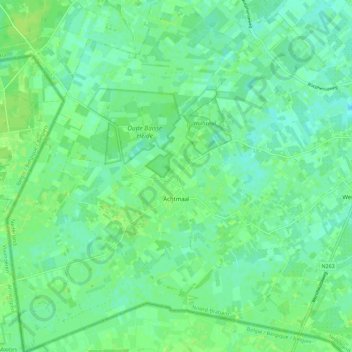
Name: Achtmaal topographic map, elevation, terrain.
Location: Achtmaal, Zundert, North Brabant, Netherlands (51.42303 4.52990 51.49338 4.61667)
Average elevation: 13 m
Minimum elevation: 7 m
Maximum elevation: 18 m