
Thank you for supporting this site ❤️
Make a donation
Make a donation
Ruatahuna topographic map
Click on the map to display elevation.
Thank you for supporting this site ❤️
Make a donation
Make a donation
About this map
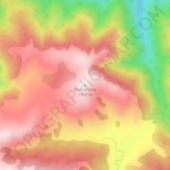
Name: Ruatahuna topographic map, elevation, terrain.
Location: Ruatahuna, Taupō District, Waikato, New Zealand (-39.10868 175.94950 -39.10858 175.94960)
Average elevation: 1,158 m
Minimum elevation: 819 m
Maximum elevation: 1,359 m
Thank you for supporting this site ❤️
Make a donation
Make a donation