
Thank you for supporting this site ❤️
Make a donation
Make a donation
Loker topographic map
Click on the map to display elevation.
Thank you for supporting this site ❤️
Make a donation
Make a donation
About this map
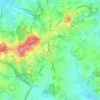
Name: Loker topographic map, elevation, terrain.
Location: Loker, Heuvelland, Ieper, West Flanders, 8958, Belgium (50.76792 2.75795 50.81856 2.81762)
Average elevation: 63 m
Minimum elevation: 25 m
Maximum elevation: 153 m
Thank you for supporting this site ❤️
Make a donation
Make a donation
Other topographic maps
Click on a map to view its topography, its elevation and its terrain.